
Lake Elsinore Block Lookup Starts with Parcels
The defensible public-record meaning of a Lake Elsinore neighbor is an adjacent or nearby parcel. A block can include a vacant lot, common area, apartment parcel, public facility, or an address across a jurisdiction line. Map My County supplies the visual starting point. The Assessor, Recorder, City, Elections office, and community groups then contribute separate facts.
A neighbor lookup should state whether it is mapping land, tracing a recorded party, dating a permit, checking a community contact, or researching a historic occupant. A name from one record should not be copied into a block roster. Each source has a date, purpose, access rule, and blind spot.
| Source | What it shows about a block | Access |
|---|---|---|
| Map My County | Parcel outlines, APNs, adjacency, boundaries, and layers | Free visual browse and identify |
| ACR parcel records | Assessment and property facts for each APN | Search each address or APN; owner route at office |
| Recorder deed index | Recorded transfer parties through time | Party search; copies and older books through ACR |
| City permit files | Construction chronology and released project roles | City portal or focused request |
| Voter material | Registration evidence through approved channels | Authenticated or regulated access only |
| Community contacts | Board or management route for a planned community | No public member roster identified |
This block-lookup coverage keeps the parcel and the person claim separate from the beginning.
Open Lake Elsinore Parcel Records
Map My County is map-led, not a residents index. Search the target address, APN, or place, zoom until parcel outlines show, identify the target, and write down its APN and situs. Then click each parcel sharing an edge and each parcel directly across the street. Record APNs, situs addresses, land-use clues, and jurisdiction layers in a private research worksheet.
The process is a simple block flow: address to parcel, parcel to APN, APN to adjacent geometry, adjacent APN to individual official search. If an identify panel returns several overlapping layers, select the parcel result before relying on the attributes. Map browsing can show the whole block more safely than a name-first query because it includes vacant, common-area, and irregular parcels.
- Search the known address and zoom to individual parcel outlines.
- Identify the target parcel and save APN, situs, and visible jurisdiction.
- Click edge-sharing parcels and parcels across the street; save each APN separately.
- Check each APN in the Assessor and use the Recorder only for a dated party trail.
- Return to the City or County custodian for a permit or code record tied to that parcel.
The Riverside Map My County viewer supports the map and identify workflow. It does not expose a one-click neighbor roster.
Note: Adjacent parcels are a defensible starting unit, while any name attached later must retain its role, date, and custodian.
What Lake Elsinore Parcel Records Prove
Map My County documents search, layer controls, identify or location information, an identifiable-layer setting, buffering, basemap choices, measure, and print or report tools. The current viewer loads dynamically, so layer names, result fields, export controls, and caps can change with scale or configuration. Report only the controls visible in the session used.
Relevant Riverside County layers include APN boundaries, house numbers and address points, city areas, recorded maps, subdivisions and lots, centerlines, zoning, hazards, census tracts, school or district information, permits, code and planning cases, aerial imagery, and annexation boundaries. A layer can establish geography or a planning context. It does not automatically establish ownership or occupancy.
- Search: Find an address, APN, or place and zoom; the geocoder result is not a certified record.
- Identify: Inspect visible parcel or feature attributes; only identifiable layers respond.
- Layer list: Toggle boundaries, permits, zoning, and districts, with availability varying by scale and session.
- Buffer or measure: Describe a radius, distance, or area without creating a list of people.
- Print: Save a reproducible map view, not a certified ownership copy.
A useful neighbor map names the layer and date. It does not imply that a map click returned a household.
Check Adjacent Lake Elsinore Records
After the GIS pass, check each APN or address separately in the Riverside County Assessor property search. The search accepts APN, PIN or assessment number, and property address. A PIN uses the first nine digits. The public web card can carry parcel, situs, assessment, map, and property facts, while the official page does not promise online owner-name searching. Owner information is available through the public-service office route.
Use the Recorder only after the parcel link is stable. Search the relevant party as grantor and grantee, then match the legal description and APN. A recorded party may be an owner, lender, trustee, or other role. A mailing address may be outside Lake Elsinore. Keep those facts in distinct fields.
| Assessor mode | Input | Carry into block notes |
|---|---|---|
| APN | Parcel identifier | APN, parcel geometry, legal or map reference |
| PIN | First 9 assessment digits | Assessment key and returned situs |
| Property address | Street number and name | Normalized situs and ZIP context |
| Owner route | Public-service office or microfiche | Owner name with source and date, if lawfully available |
The Riverside County property search is a parcel tool. It should not be described as an all-neighbors people search.
Lake Elsinore Association Records Are Contacts
Planned communities can provide a public board or management contact without publishing a resident list. Lake Elsinore's research identifies Canyon Hills, Summerly, Rosetta Canyon, Tuscany Hills, and Alberhill Ranch as community or association leads. No City-maintained umbrella directory defines every boundary, current manager, or member list. Confirm coverage from the parcel title package, recorded CC&Rs, tract maps, or the association's current public contact route.
These contacts help route a community question. They do not authorize compiling names. A visible board officer or management address is a public contact role, not proof of a household. Association boundaries can also differ from postal, city, school, and service boundaries.
Canyon Hills
Community association lead
Confirm parcel coverage
No public member roster identified
Use title or CC&R records
Summerly
Community association lead
Master-plan and phase context
No public member roster identified
Confirm current management
Rosetta Canyon
Community association or HOA lead
Verify by parcel title
No public member roster identified
Use board contact only
Tuscany Hills / Alberhill Ranch
Planned-community leads
Use tract and title records
No public member roster identified
Do not infer membership
Community associations are one layer in a neighbor lookup, not a substitute for an official parcel record.
Note: An association contact can route a question, but its boundary and membership still require parcel or title confirmation.
Use Public Lake Elsinore Neighbor Records
The Lake Elsinore Valley Chamber of Commerce can connect a trade name with an owner or representative and a business address when a public member directory is available. It is self-submitted community or business evidence. A storefront or representative role should remain labeled as such. It does not establish a private household.
The Chamber is useful for a local block question involving a business, civic contact, or public community lead. Cross-check the legal entity, City license, ABC or environmental-health record, and parcel location when the question concerns a premises.
The Lake Elsinore Valley Chamber is the source for the public business-community contact route.
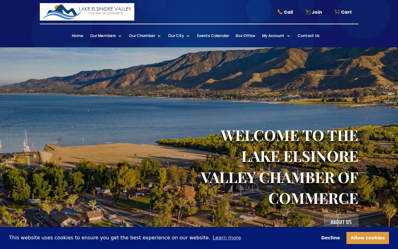
A community directory can help reconnect with a public business contact while still leaving private member information out of the block record.
Which Lake Elsinore Records Office Covers
A postal Lake Elsinore address can sit outside the incorporated City. Use USPS for delivery, the Assessor for APN and situs, and Map My County for the municipal or unincorporated layer. If the parcel is inside the City, request existing permit or code records from Lake Elsinore. If it is outside, use Riverside County land-use channels even if the mailing line stays the same.
Police records follow another split. Lake Elsinore contracts law-enforcement service through the Riverside County Sheriff, and the City says it does not maintain police records. The Lake Elsinore station is at 333 Limited Avenue, with reports and older archive procedures handled through the Sheriff's published channels. The same jurisdiction check prevents a block question from going to the wrong office.
The City of Lake Elsinore public-records portal is the municipal request route.
A focused request names the address or APN, record series, department, date interval, and desired electronic format.
The Lake Elsinore Sheriff station page identifies the local service layer.
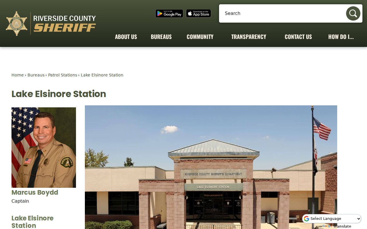
That office connection matters for incident or police-report questions because City Hall is not the police-record custodian.
The Riverside public and official records guide provides the county-level routing context.
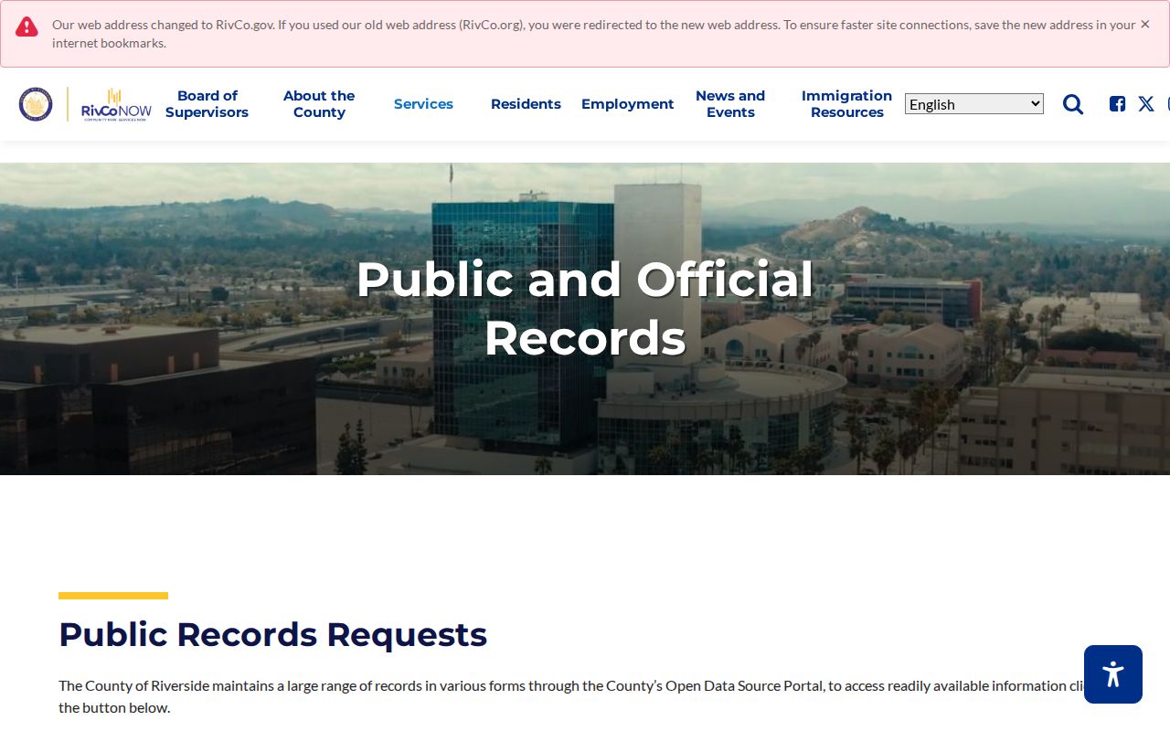
Use the map boundary and the record custodian together before sending a request about a nearby parcel.
Note: Jurisdiction should be checked before a request is sent because a postal city can cross the incorporated boundary.
Lake Elsinore Voter Records Are Regulated
California My Voter Status authenticates a person's own registration. It is not a public address-to-neighbor tool. A voter file may be released only under Elections Code rules for permitted election, governmental, scholarly, journalistic, political, or specified review purposes. The application identifies the requester, intended use, users or vendors, delivery, security, and destruction commitments.
Even an approved file excludes or protects sensitive fields such as driver-license or state-ID numbers, Social Security numbers, and signatures. Safe at Home and confidential voter records are suppressed. Participation history shows election date and method, never ballot choice. A block lookup should not infer a voter list from a map or a failed self-lookup.
Aggregate Reports of Registration can describe county or city party context without exposing individual names. That is the appropriate public alternative when the question is civic geography rather than one household.
What Lake Elsinore Neighbor Records Stay Private
Some facts do not belong in a Lake Elsinore neighbors list. DMV addresses are protected under the federal Driver's Privacy Protection Act. Utility customer and delivery data are not a public resident roll. Children, unit occupants, people in assisted living, survivors using Safe at Home, confidential voters, and people in sealed proceedings may be absent or protected. One apartment parcel cannot yield a lawful unit-by-unit household roster.
Commercial neighbor tools can merge tax, deed, marketing, and inferred household data. They can be stale, omit unit occupants, or join different people with the same name. Official records are narrower but more accountable: a parcel, document, permit, role, date, and custodian can be checked. Use a commercial result, if encountered, only as an unverified lead and do not republish it as a fact.
| Source type | Useful block fact | Boundary |
|---|---|---|
| Official parcel and GIS | APN, geometry, adjacency, jurisdiction | No household roster |
| Recorded document | Dated party and legal description | Party may not occupy the parcel |
| City permit | Project participants and work history | Release and redaction rules apply |
| Community contact | Board, management, or public business route | No public member list identified |
Lawful personal use. Lake Elsinore neighbor records can support parcel research, genealogy, community contact, and civic questions. Do not use an address or name to stalk, harass, intimidate, threaten, or harm anyone.
When the question expands from the immediate block to every address on a named road, use the Lake Elsinore by-street chain and keep the same parcel-first limits.
Note: A block record is strongest when it names the public fact and states clearly what the source cannot show.