
The Two Verified Lake Elsinore ZIP Codes
The working Lake Elsinore ZIP code directory has two verified standard delivery ZIP codes for ordinary street addresses: 92530 and 92532. The research did not verify a separate PO-box-only or unique institutional ZIP for Lake Elsinore. ZIP coverage can extend beyond the incorporated city, so each complete address still needs an individual USPS check.
92530 generally serves the historic and downtown core, much of the west, south, and lake-adjacent side, and postal territory beyond the city line. 92532 generally serves eastern and northeastern growth areas and planned communities such as Canyon Hills, Rosetta Canyon, and Summerly-area addressing where assigned. These patterns are useful research buckets, not hard parcel boundaries.
| ZIP | Lake Elsinore geography | Postal channel | Record caveat |
|---|---|---|---|
| 92530 | Historic, downtown, west, south, and lake-adjacent areas | Lake Elsinore Post Office, 500 W. Graham Avenue | Can include territory outside the incorporated line |
| 92532 | Eastern and northeastern growth areas and planned communities | Verify the servicing facility for the exact address | One ZIP crosses tracts, associations, districts, and service areas |
An entry should therefore say “postal area” unless a parcel-level GIS check supports a municipal statement.
92531 Is Not a Lake Elsinore ZIP
The research found no authoritative evidence of a current 92531 Lake Elsinore delivery ZIP. It is easy for a third-party list to repeat a number, but the postal index should not add it without a USPS result or a current official delivery source. A name appearing in a list is not the same as a deliverable street-address assignment.
When a source claims 92531, test the exact street address in USPS ZIP Code Lookup and preserve the returned standardized address and ZIP+4 if provided. Then compare the result with the county parcel and GIS record. A postal response can validate delivery format, but it cannot decide whether the parcel sits inside Lake Elsinore city limits.
Verification point. Use only 92530 or 92532 as the verified Lake Elsinore delivery buckets here, and test every edge address individually.
This cautious approach protects the postal index from an unsourced number while still leaving room for an official postal change to be documented later.
Note: The verified ZIP list is deliberately narrow, because an unconfirmed postal number can misroute the next parcel search.
Verify a Lake Elsinore Mailing ZIP
USPS provides three lookup modes: ZIP Code by Address, ZIP Code by City and State, and Cities by ZIP Code. Address mode is the strongest for a property because it can standardize the street, unit, city, state, ZIP, and ZIP+4. City and state mode shows postal associations, not a municipal polygon. A USPS result is postal evidence only.
The address fields do not identify an APN, owner, city jurisdiction, association, school assignment, or occupant. Keep the postal result next to the parcel result rather than replacing one with the other. The same Lake Elsinore mailing line can serve incorporated and unincorporated Riverside County property.
| USPS field | Mode | Use |
|---|---|---|
| Street Address | Address mode | House number and USPS street spelling |
| Apt/Suite/Other | Address mode | Secondary unit detail for delivery |
| City and State | Address or city mode | Enter Lake Elsinore and California when appropriate |
| ZIP Code | Cities-by-ZIP mode | Test a five-digit postal bucket |
| Returned result | All modes | Retain standardized address and ZIP+4 as postal evidence |
The USPS ZIP Code Lookup is the correct address-level check. Cite the postal index without claiming that USPS assigns land or household status.
ZIP Boundaries and Lake Elsinore City Limits
A Lake Elsinore postal area is a delivery geography, while a city limit is a political boundary. A Census ZCTA is a statistical approximation. An unincorporated Riverside County locality can use a Lake Elsinore mailing city. An HOA, school, water, fire, or service district can cross both. These layers answer different questions.
For a permit, code case, or planning request, use Riverside County GIS to decide whether the parcel is inside the incorporated City or in county territory. If it is inside Lake Elsinore, use the City planning and building channels. If it is outside, use the relevant Riverside County land-use custodian even if the postal label and mailing line look the same.
- Validate the exact mailing address and ZIP with USPS.
- Run the address through the Riverside County Assessor search and save the APN.
- Open the APN in Map My County and inspect the municipal or unincorporated layer.
- Choose the City or County permit and records office from that parcel result.
The City of Lake Elsinore home page is a municipal starting point, but a postal city label alone is not proof of City jurisdiction.

The city view belongs beside the GIS parcel result, because the address line and the political line can diverge.
Group Lake Elsinore Parcels by ZIP Carefully
Riverside County's Assessor instructions advertise APN, PIN, and property-address searches, not a public ZIP-wide owner export. Map My County may display broad geography and current layers, but it is primarily an address, APN, and map-browse tool. The Recorder indexes by parties and document keys. California My Voter Status has no ZIP browse.
The honest postal workflow is to collect addresses or parcels from a defined geography, normalize each USPS result, and search each official record separately. A postal bucket can help sort a parcel list. It cannot produce a complete list of residents. Multiunit parcels, vacant land, common areas, and protected addresses make a person count even less reliable.
The Riverside County GIS gateway provides the map starting point for parcel and boundary context.
The map gateway supports geography work, while the named-record search still belongs with the Assessor, Recorder, City, Court, or Elections custodian.
The Riverside County Assessor situs address layer is another useful cross-check for parcel geography. It can help compare the mapped situs field with a mailing line before a record request is sent.
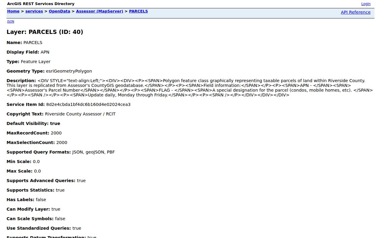
Use that layer as parcel context, then confirm the actual record with the custodian that owns it.
Note: A ZIP can organize address work, but APN and jurisdiction determine which public office holds the next record.
Lake Elsinore ZIP Research Buckets
The two verified ZIPs can sort research tasks. For example, an address list can be checked for USPS formatting, then grouped for a parcel map review. A business or permit record may include a ZIP field that helps find a matching premises. A census or ZCTA statistic can describe population geography when clearly labeled as a statistical measure.
The bucket is not a household roll. A property owner may have a different mailing address. A parcel may hold several units that do not appear in assessment data. A historical directory may omit the address. A voter record may be protected or unavailable. These are record limits, not missing search buttons.
| Question | Best geography | Appropriate source |
|---|---|---|
| Can mail reach the address? | USPS address and ZIP | USPS address lookup |
| Which land parcel is it? | Situs, APN, legal description | Assessor and County GIS |
| Which office holds a permit? | Municipal or county boundary | Map My County jurisdiction layers |
| How is a population estimate labeled? | Census geography or ZCTA | Census source with visible vintage |
Use the postal index as a sorting aid, then hand the exact address to the record system that owns the fact.
Lake Elsinore Postal Records and County Lines
Lake Elsinore postal geography meets several nearby or overlapping community labels, including Lakeland Village, Wildomar, Canyon Lake, Temescal Valley, and county-unincorporated areas. Those names can describe a place, a mailing line, a planned community, or a wider valley reference. They should not replace a parcel-level boundary check.
The lake, foothills, Interstate 15 corridor, older downtown, and later subdivisions make ZIP polygons look larger than the developed street network. A postal bucket can also cross an HOA, tract, school boundary, or service district. The map layer that answers one question may be wrong for the next one.
For a neighborhood or street task, switch from the postal bucket to APN once the address is known. The Lake Elsinore by-street records page then follows the address chain without treating the postal bucket as a person list.
Carry Lake Elsinore Records Past ZIP Changes
Postal formatting can change. A tract can gain a new street name. A subdivision can receive a new situs address. The stable cross-system key is the APN, backed by the tract, lot, block, recorded map, document number, and legal description. Carry those fields when a postal label, mailing city, or street label changes.
Four address terms should stay visible in a postal index: situs, mailing, USPS standardized address, and APN or PIN. A legal description controls the land in a deed. The USPS line controls delivery. The Assessor and GIS connect the address to the parcel. None of those keys alone says who occupies a building.
- Postal code
- A USPS delivery routing code, not a city-limit polygon.
- ZIP+4
- An added delivery segment returned by USPS when the exact address is standardized.
- PO-box ZIP
- A postal assignment for boxes or a facility; no separate Lake Elsinore one was verified in the research.
- Unique ZIP
- A specialized postal assignment for a particular organization or facility; do not add one without official evidence.
- Carrier route
- A delivery route concept that is narrower than the city or parcel jurisdiction.
When a postal search reaches a street, keep the delivery check and then move to the address-level chain rather than expanding a ZIP into a guessed roster.
Note: Keep the postal result beside the APN because delivery geography and land jurisdiction answer different questions.